
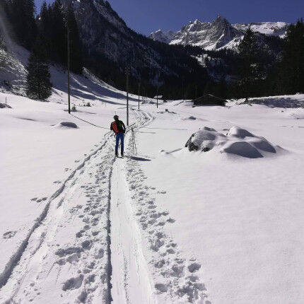
Rauflihorn & Chalberhorn
Ski touring is the ideal way to venture into the mountains and discover new landscapes. At Speck Sports we share our itineraries and topo guides with you so that you can enjoy them and travel through our blog.
We'd just like to remind you that you need to have a good knowledge of the mountains and a good level of ski touring to venture out on these trails.
28/02 outing: Rauflihorn & Chalberhorn
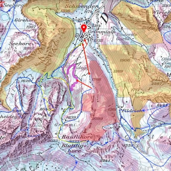
The route starts from Grimmialp, a Swiss village in the municipality of Diemtigen in the Diemtigtal valley in the Bernese Oberland, in the canton of Bern, Switzerland. The snow conditions are sometimes tricky, but in fine weather the area is truly magnificent.
At Grimmialp, the car park for hikes (snowshoeing, skiing, cross-country skiing) is at the end of the road. There's a parking meter, which costs 5 Swiss francs a day. The Swiss are disciplined, so be careful.
When we were there, a lot of snow had fallen, so there was plenty of powder, but the wind was already starting to make itself felt and the clouds were moving past very quickly.
The starting point is fairly straightforward, as you follow the cross-country ski trail along the river, then take the summer footpath up to the Grimminutz chalets (1400m - also signposted for snowshoeing).
You will then have to take the large forest path that runs alongside the river and crosses it several times. It's not very technical and it's easy to use!

Once out of the forest, the scenery is magnificent, like a postcard set. You can join the chalet just opposite and continue your ascent due south towards a seemingly obvious pass. Once you've reached the pass, the summit slope is yours to explore, then the descent takes the same route- there's still plenty of room to make some very nice tracks.
The descent was complicated, as alternating snowy and windy spells shaped the terrain, making it more technical. From hard, blowing snow at the top of the descent, we found ourselves with cinematic snow a little lower down, which prevented us from picking up speed and meant we had to be extra vigilant.
So we decided to head for the next valley to see if the snow and weather were any better, and so we headed for the Chalberhorn. The bottom of the descent is on the main forest track, and at the bottom of the descent there's a crossroads which reveals a forest track coming from the left.
We recommend that you do as we did and follow this path to the 2 chalets. Once past them, we head up the valley, staying in the forest due south and then south-east as we leave it. From here, the small summit seems obvious. We return to the large forest path at the start in mini-border cross mode.
This is a beautiful outing, but it does require you to be in good physical condition.


Fred Horny is exceptional both in terms of his outdoor riding and his extraordinary ability to rack up the kilometres on his bike!

Discover Sierra Designs products at Speck-Sports!
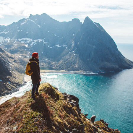
Are you feeling a little urge to get out into nature? To breathe in the fresh mountain air, feel the wind in your hair, and hear the rustling of the leaves? Before you set out on your first trails, let’s talk about preparation.
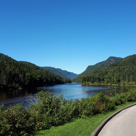
Explore the natural beauty of Parc national de la Jacques Cartier!